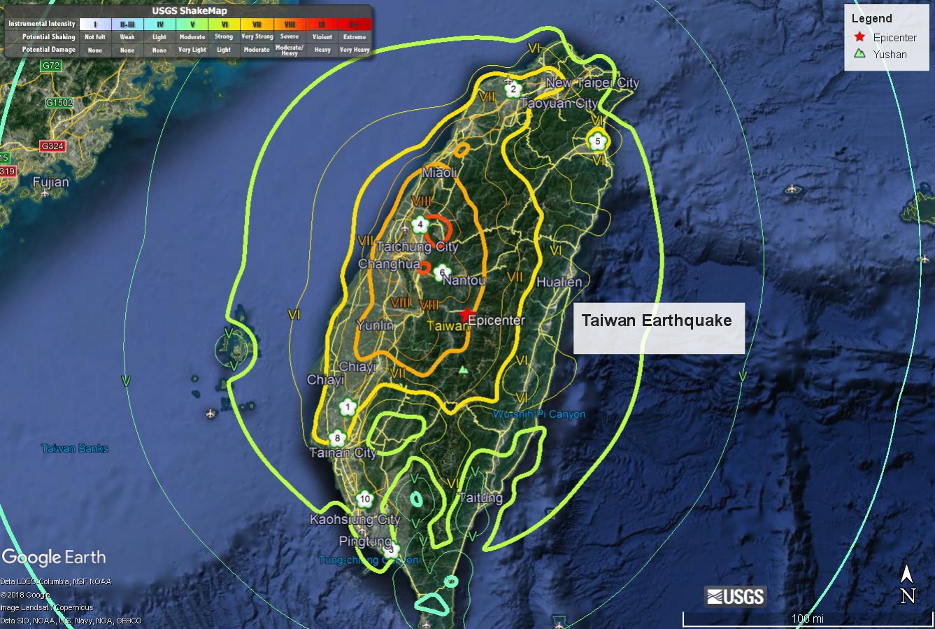
THE MAGNITUDE 7.7 CENTRAL TAIWAN EARTHQUAKE OF SEPTEMBER 20, 1999
|
Also know as the Chi-Chi Earthquake, or the 921 Earthquake, for the local time (17:47 UTC, + eight hours) of 01:47am on September 21, 1999.
At least 2,297 people killed, 8,700 injured, 600,000 people left homeless and about 82,000 housing units
damaged by the earthquake and larger aftershocks. Damage estimated at 14 billion U.S. dollars.
Maximum intensity (VI JMA) in Nan-tou and Tai-chung Counties (areas 6 and 4 on map, respectively). Half of a village was lost by subsidence
into the Ta-an Hsi and landslides blocked the Ching-shui Hsi, creating a large lake.
Two other lakes were created by substantial ground deformation near the epicenter.
Surface faulting occurred along 75 km of the Chelungpu Fault.
- USGS Hazards Program
|
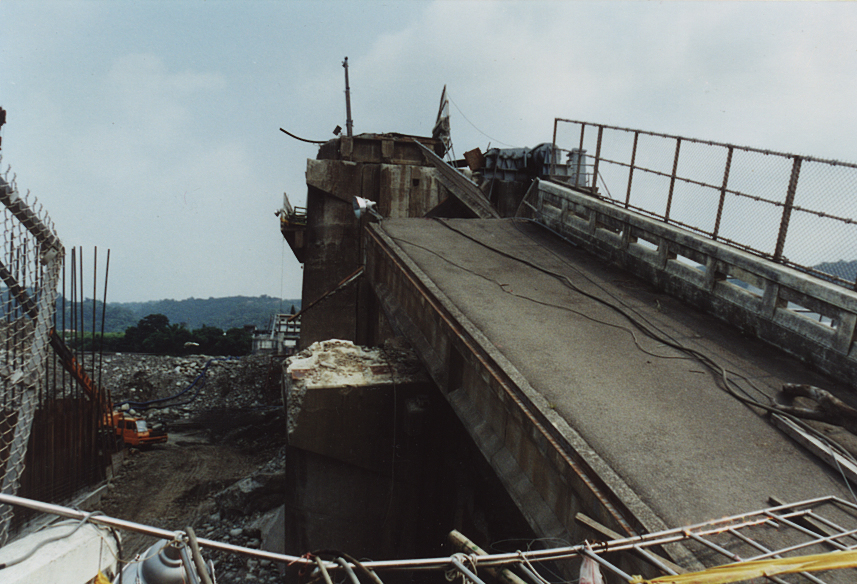
The following photos were take 6 months after the earthquake by:
Dr. Robert B Herrmann, Professor of Geophysics and Reinert Professor of Natural Sciences,
Department of Earth and Atmospheric Sciences
Saint Louis University
Images from Jiji Township, Nantou County, Taiwan
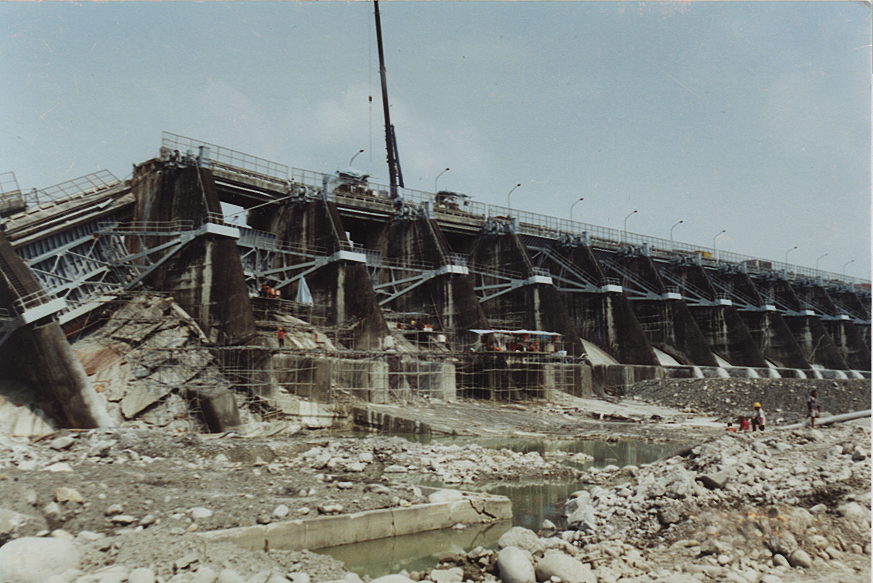
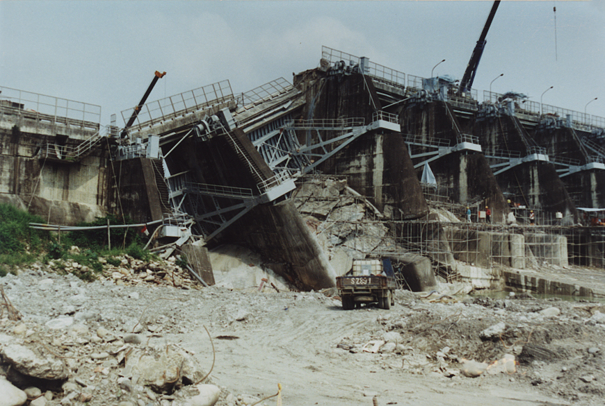
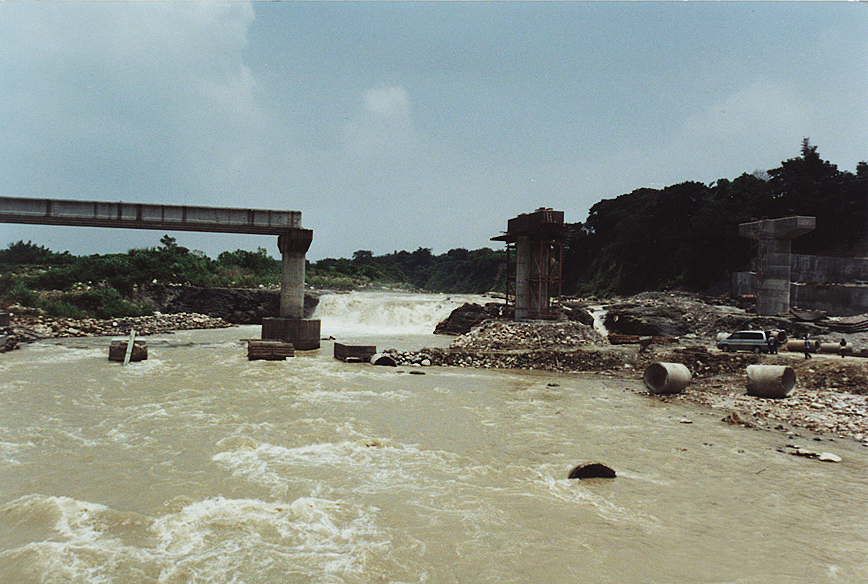
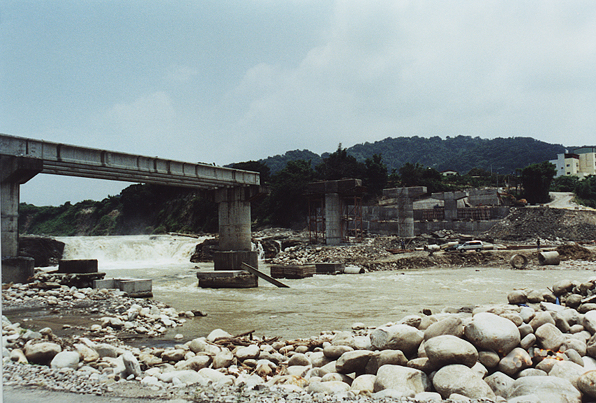
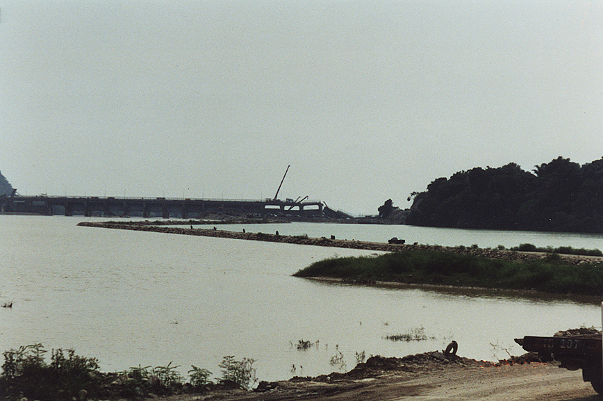 Shih-kang Dam
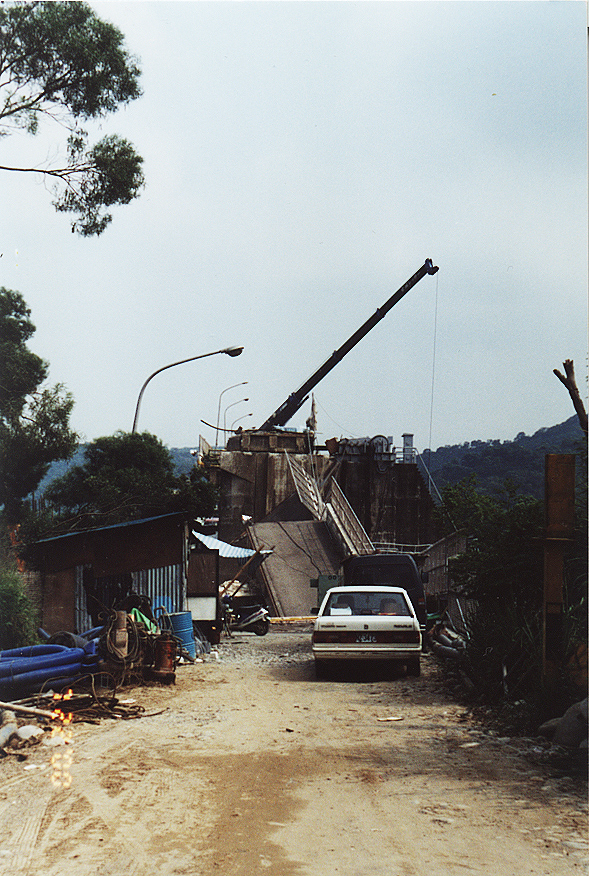
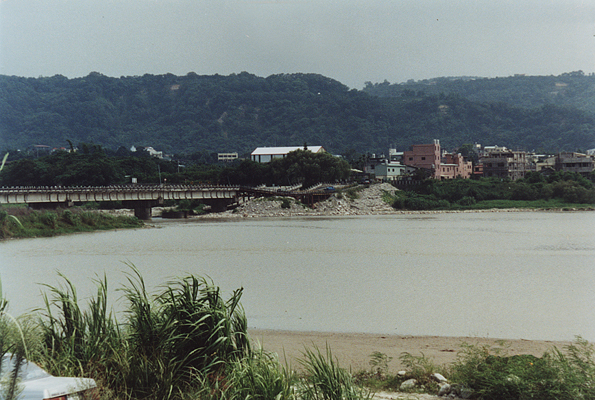 Pifeng Bridge, Shihkang, Taichung
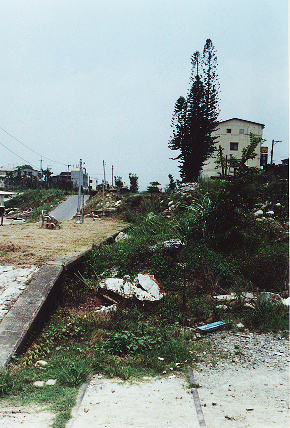
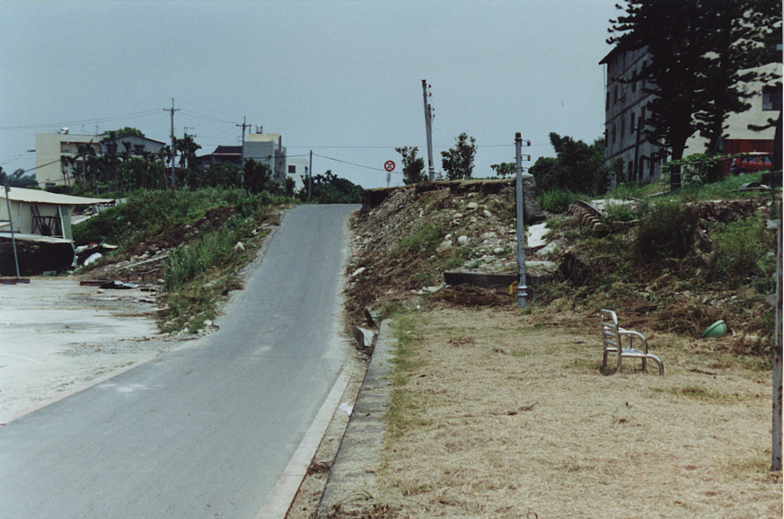
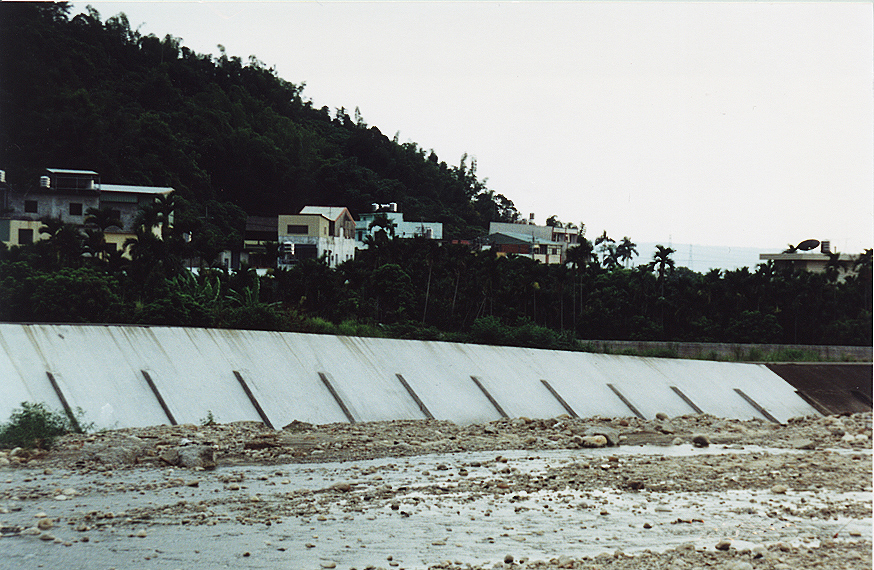
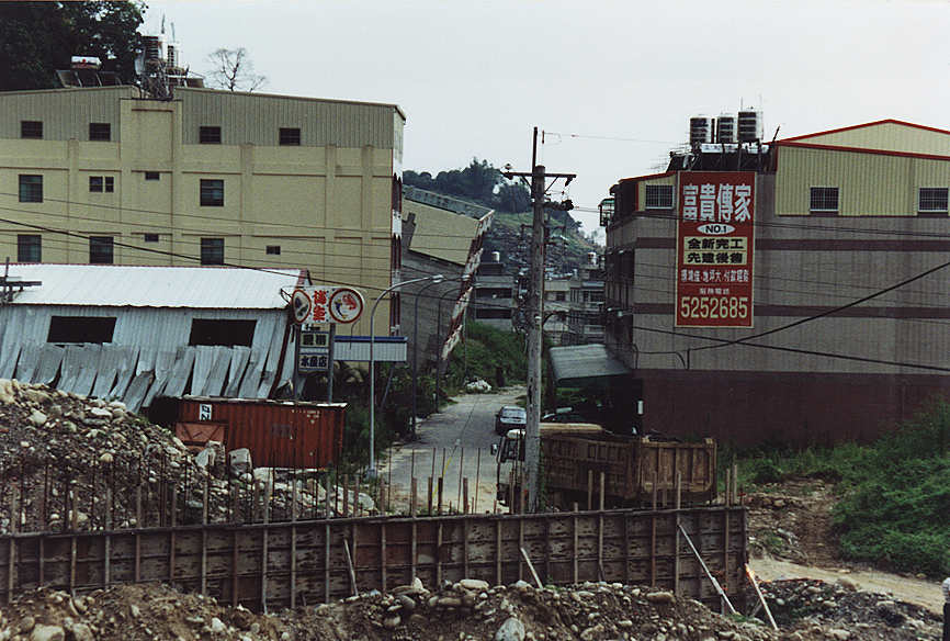
 Damage to surrounding areas caused by vertical ground displacement
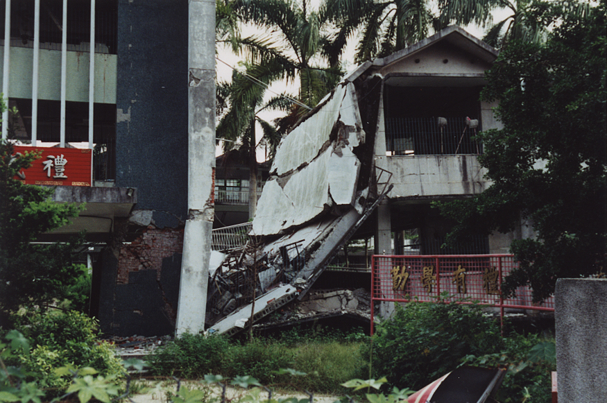
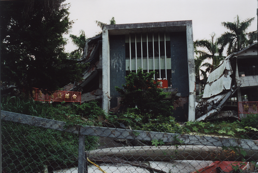
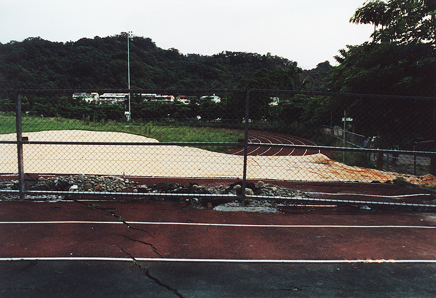 The Kuangfu Public High School in Wufeng
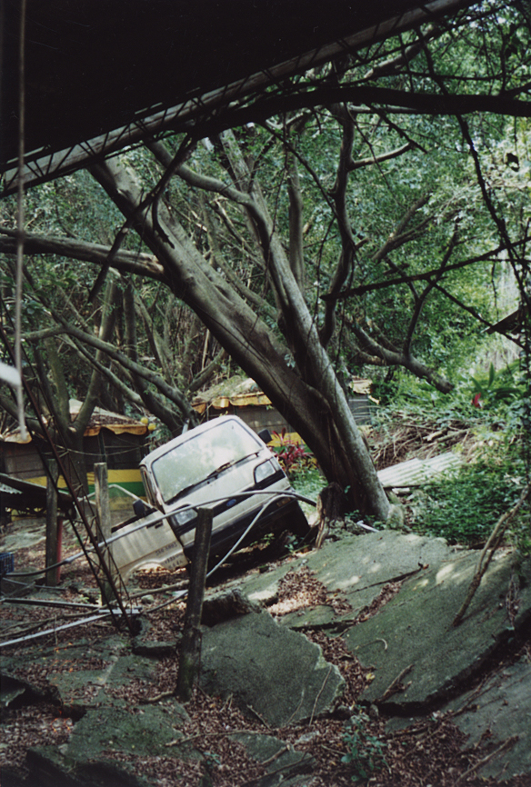
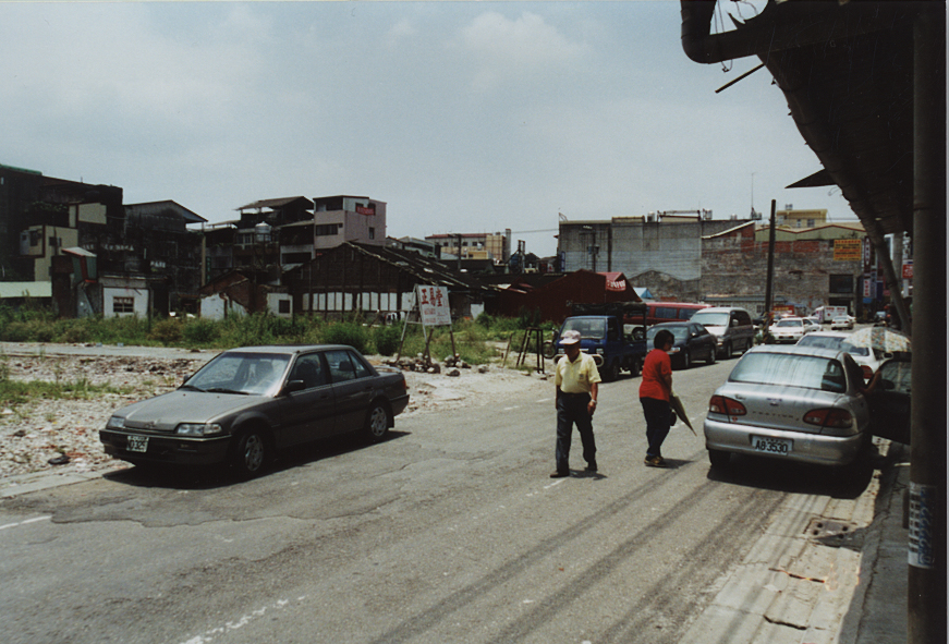
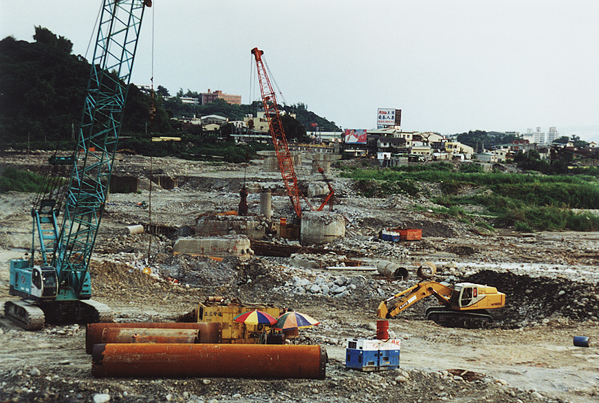
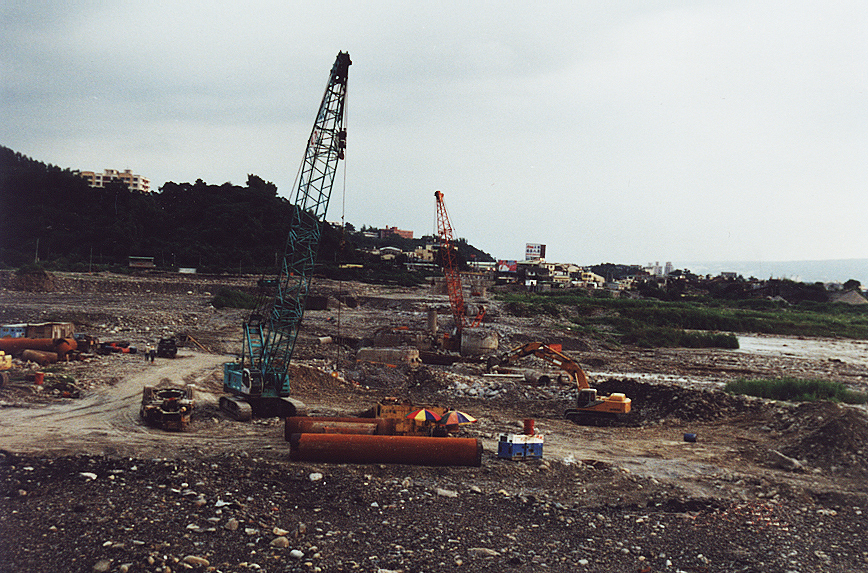
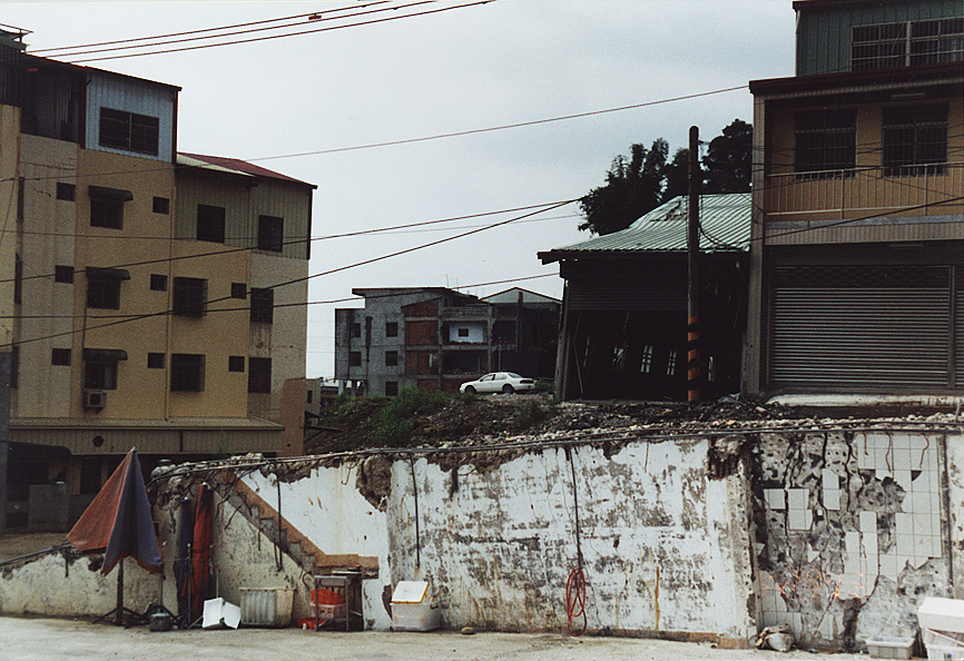
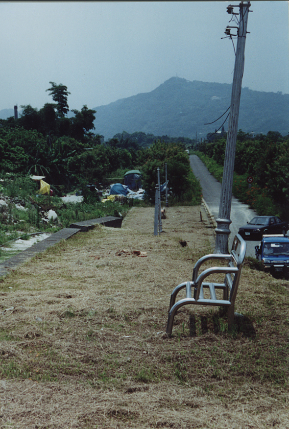
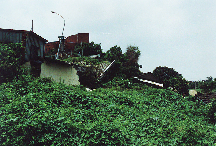
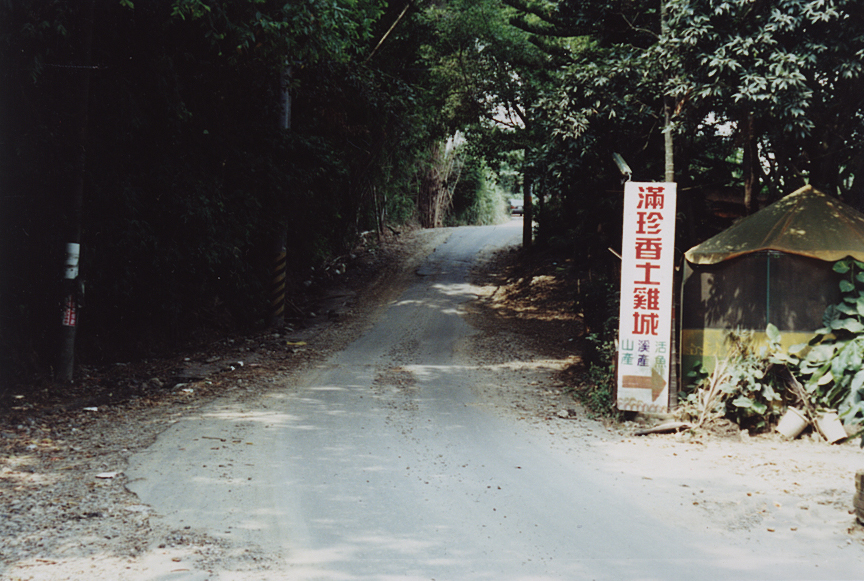
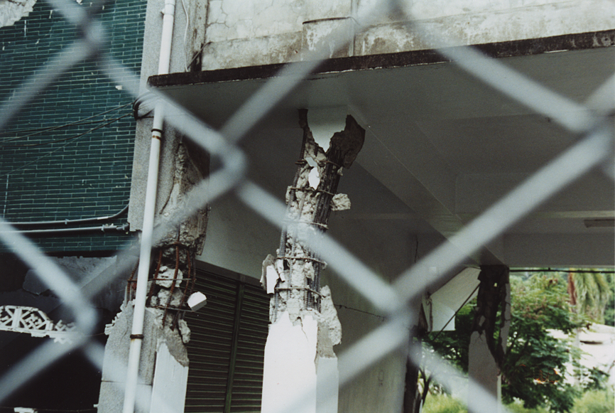 Damage from surrounding areas
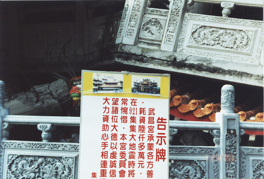
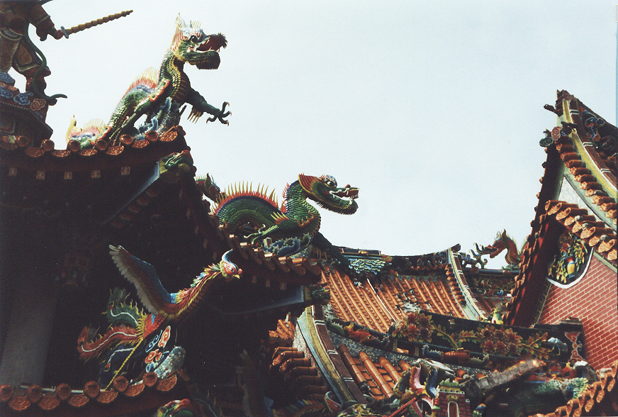
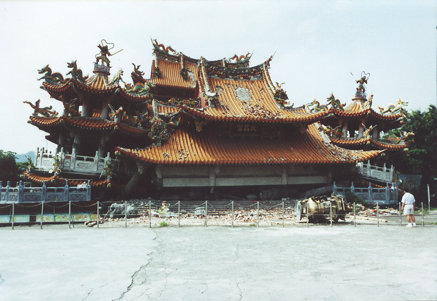
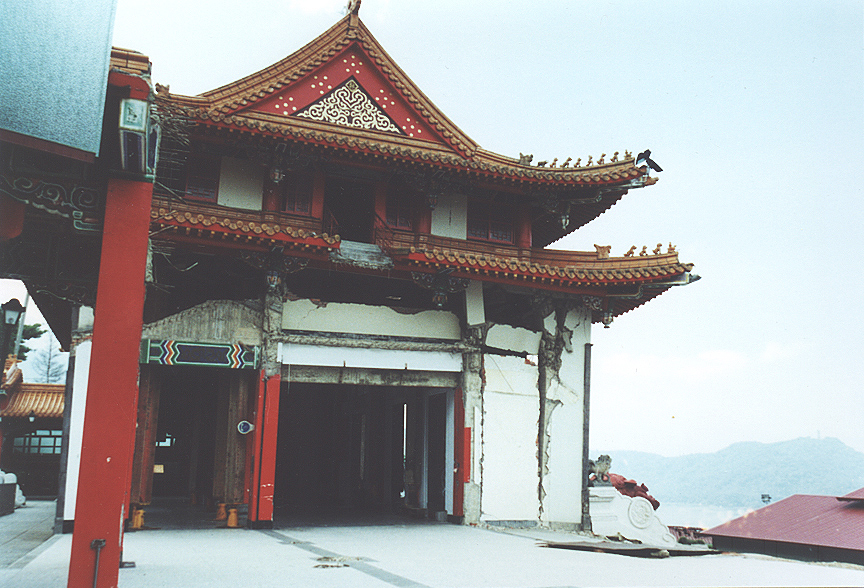
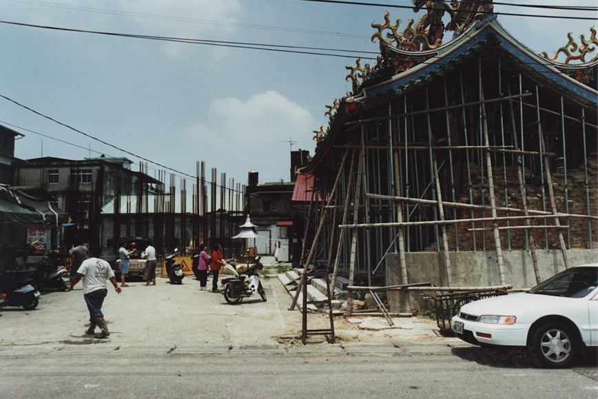
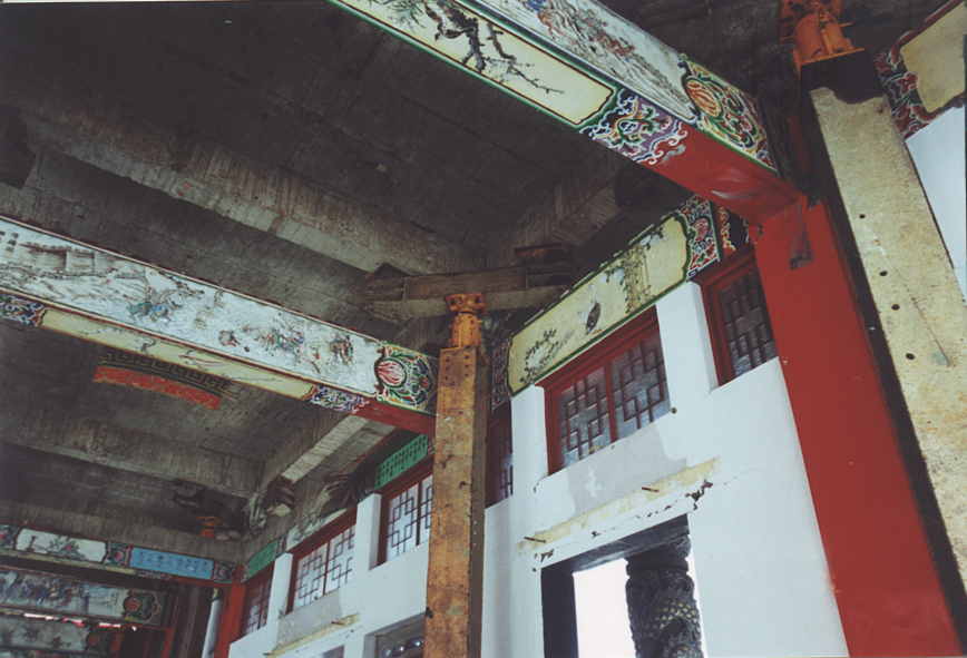 The Grounds of the Wuchang Temple
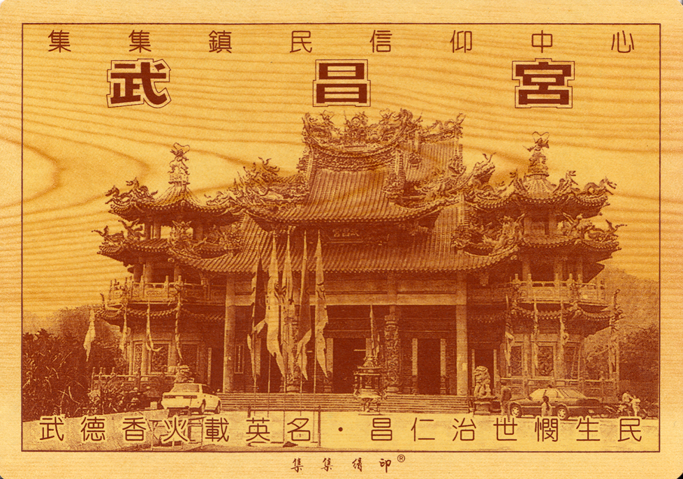
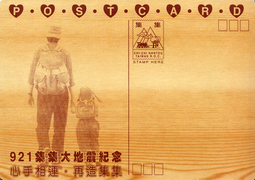
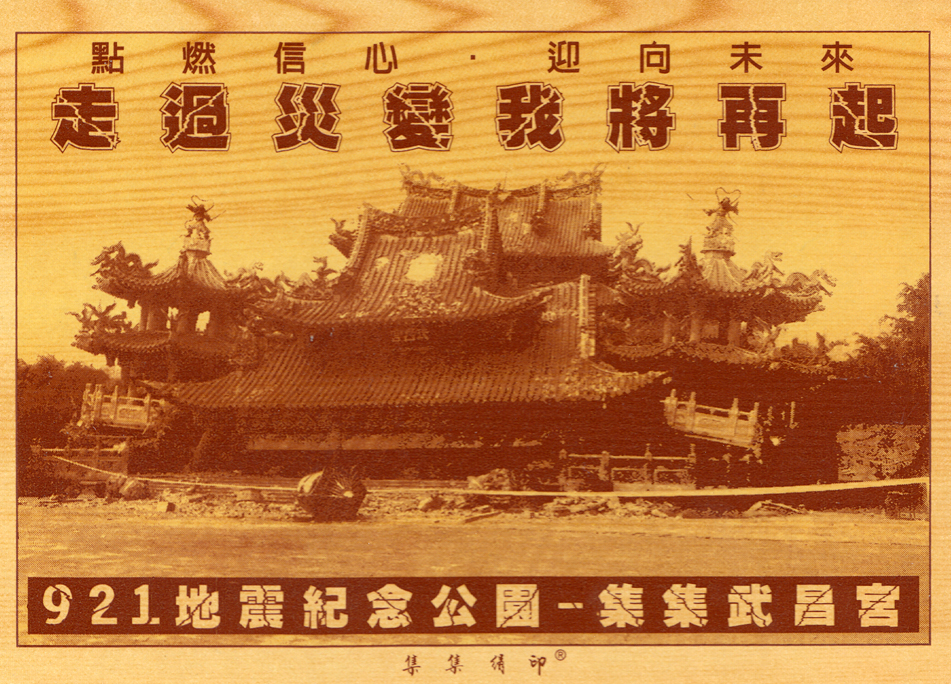
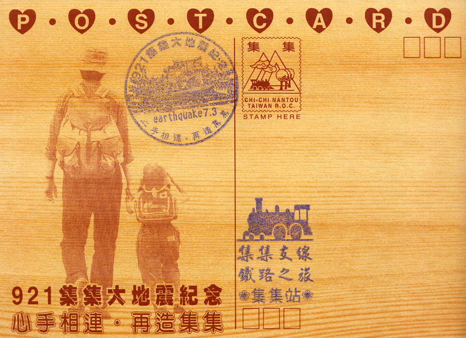 Before/after commemorative wooden postcards of Wuchang Temple
Earthquake Center